2.2. USER-LAYERS
User layers are the second of three categories in the Map Layer Organizer
Common characteristics of User Layers:
- Their content is created by the user in the modules Search, Measurement and Taskmanager, or by temporary import of own data;
- Available for every project;
- They are hierarchically grouped.
Categorization:
- Layers of drawings - measurement and search drawings are written into them
- Search Results - contains the results of Search
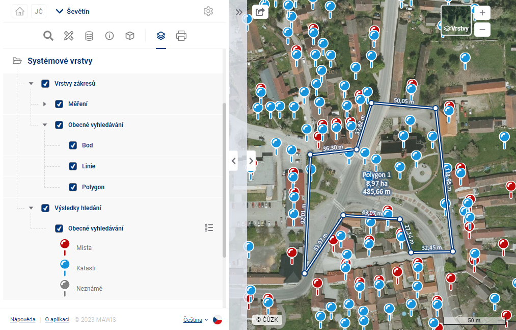
- Taskmanager layer - a layer showing the task layouts from the taskmanager module in the map
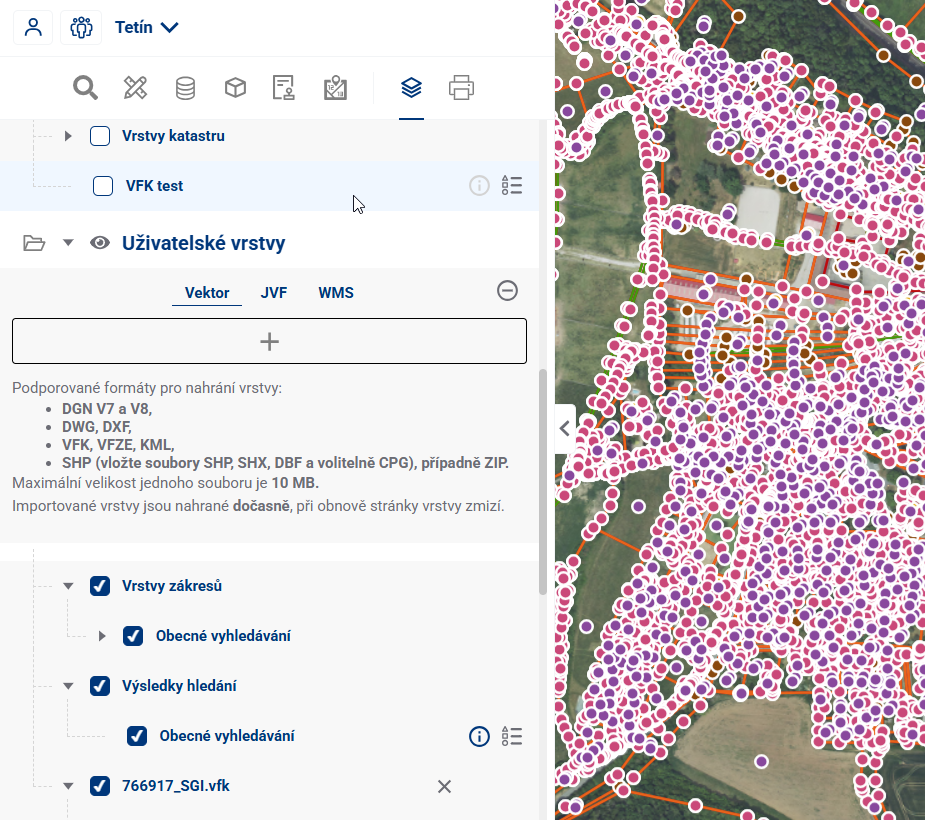
- Custom Layers - temporary user import from file, layer disappears after leaving the project
- If enabled by the project administrator, the user can use the
 button to add custom temporary layers
 - It is possible to upload Vector layers (DGN V7 and V8, DWG, DXF, VFK, VFZE, KML and SHP (insert three files SHP, SHX, DBF and optionally CPG), or ZIP), a JVF file, a georeferenced PDF with vector data and a URL to connect to the WMS layer
- There are size limits for uploaded files (10 Mb for vector and 30 Mb for JVF)
- After successful upload, the layer is displayed in the layer tree and can be worked with similarly to Data layers
- If enabled by the project administrator, the user can use the
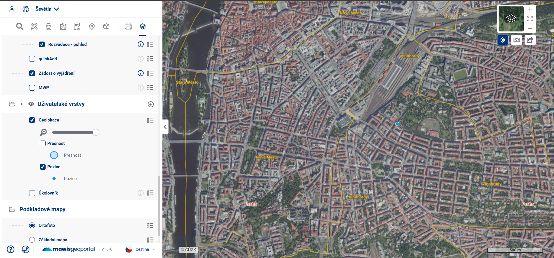
- Geolocation - layers displaying the targeting accuracy, the current position of the user (his device) and his orientation, enabled on the top right by