9.2.2. VZDÁLENOST

Distance measurement allows you to calculate the length of the line of two or more user entered points and some other values based on them. A distinction is made between data calculated for individual points and aggregated measurement results.
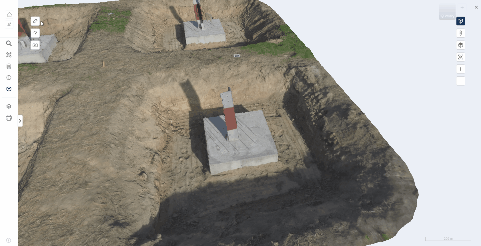
The plotting of points is described in detail in the parent chapter 9.2.
The distance measurement uses all the coordinate measurement functions listed in chapter 9.2.1.
The export of coordinates and measurement results is described in chapter 9.3.
MEASUREMENT VALUES
The table Measurement values shows the calculations for each measurement point.
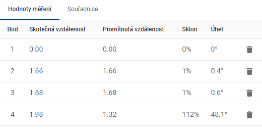
-
Actual distance = the distance corresponding to the link between this point and the previous point. In the case of the first point, the value 0 is given.
-
Projected distance = the distance corresponding to the length of the horizontal overhang (with angle 0°) in an imaginary triangle, where this point represents the vertex between the overhang and the horizontal overhang. The previous point then represents the vertex between the hypotenuse and the vertical suspension (with an angle of 90°). In the case of the first point the value 0 is given.
-
Slope = standard calculation of the slope of the line joining this point and the previous point, given in whole percent.
-
Angle = the angle between the line (this point - previous point) and the horizontal plane, given in degrees.
MEASUREMENT RESULTS
The Measurement Results table shows the summary data calculated for the measurements.
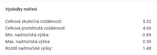
-
Total Actual Distance = the sum of all Actual Distances from the Measurement Values table.
-
Total Projected Distance = the sum of all Projected Distances from the Measurement Values table.
-
Min. altitude = the point with the lowest coordinate value on the Z axis.
-
Max altitude = the point with the highest coordinate value on the Z axis.
-
Difference in altitude = difference between Max. altitude difference between Min. and Min. altitude.